La Manga: between two seas
- Driving time
- About 50 minutes by car
- Area
- Mar Menor / Campo de Cartagena
- Town
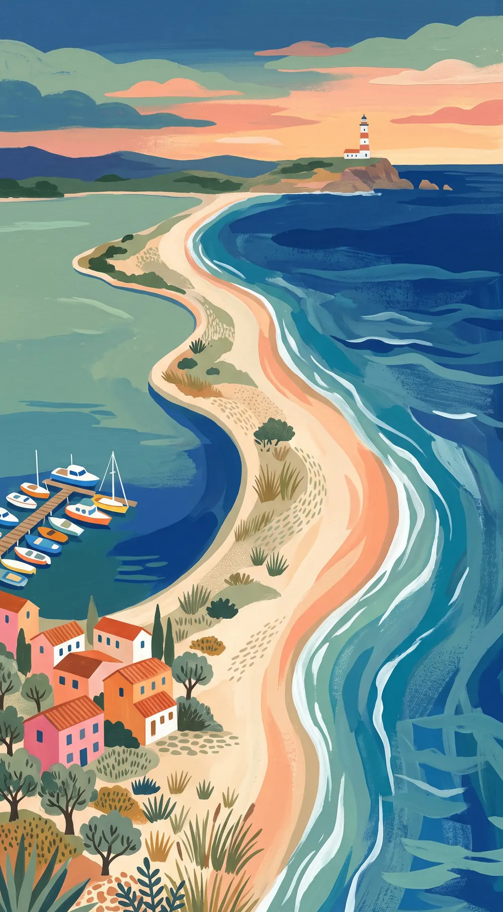
La Manga del Mar Menor is a strip of sand about 21 kilometres long between the Mar Menor and the Mediterranean. It is about a 50 minute drive from Lago Rosa Apartment.
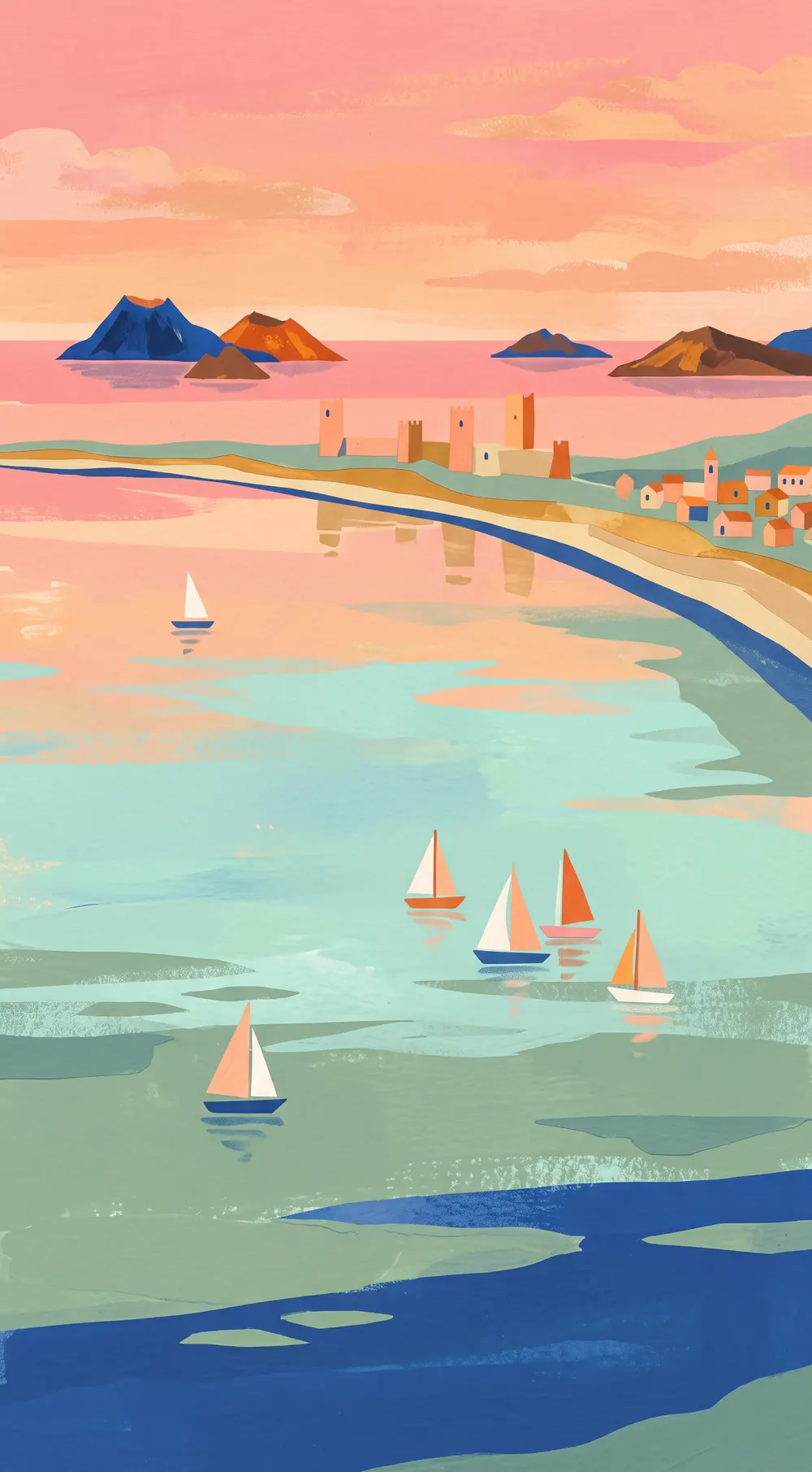
The map says it all: between 200 metres and a kilometre and a half wide, with water on both sides. That means you can swim in two seas in a single day. The lagoon side is shallow and calm, while the other side is the open Mediterranean. Natural channels, the golas, keep the two connected.
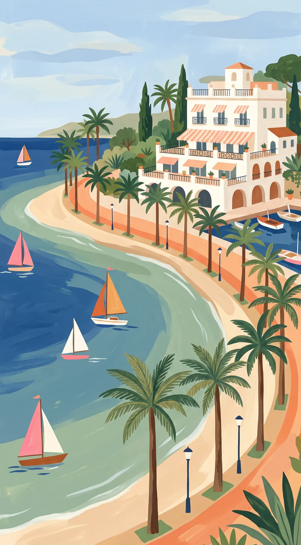
The busiest stretch is heavily built up, and you have to like that. For quiet, drive on to La Veneziola at the far end. Puerto Tomás Maestre has the yachts, the shops and the restaurants where you can watch the sun set over the lagoon. Schools for sailing, windsurfing, kitesurfing, catamaran and diving are spread along the strip. Boat trips pass the volcanic islands in the Mar Menor, and divers like the waters around Isla Grosa.
At the southern end is Cabo de Palos with its 1864 lighthouse, a fishing village where you can eat good caldero, and the Islas Hormigas marine reserve. Behind it lies Parque Regional de Calblanque, with golden beaches and no buildings.
Calblanque in summer
In season, car access is restricted and you take the bus to the beaches. Check current times and tickets at murcianatural.carm.es.
Markets
Saturday morning by Puerto Tomás Maestre, Sunday in Cabo de Palos. From mid June to mid September, crafts every evening on Plaza Bohemia.
Walking
The PR-1 runs from Cala Reona to Calblanque, past undeveloped beaches.
Frequently asked questions
Which sea do you swim in at La Manga?
Both: the Mar Menor on one side and the Mediterranean on the other.
How long is La Manga?
About 21 kilometres, from Cabo de Palos to La Veneziola.
Can you drive to Calblanque?
With limits in season, when an access scheme with buses applies. Check current times at murcianatural.carm.es.